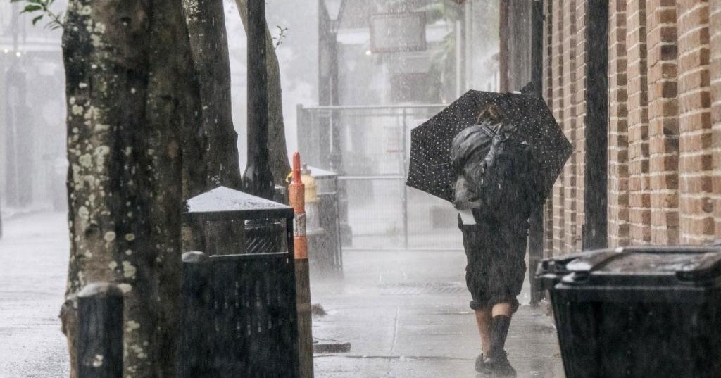
Storm Chasers star Reed Timmer is in Louisiana this weekend to capture the dangerous power of Hurricane Ida. Timmer, who stars in Tornado Chasers, shared several videos on his Twitter page, showcasing the damage caused by the wind and rain. Ida made landfall on Port Fourchon, Louisiana at 11:55 a.m. CDT Sunday as a Category 4 hurricane with maximum sustained winds at 150 mph.
Timmer filmed clips in Houma, Louisiana, where winds hit gusts of over 100 mph. He warned his followers that things will only get worse. “This is nothing compared to [the] eyewall. Hunker down. This is going to be really bad,” he captioned one clip. Another clip showed damage from a massive roof that was blown off a building. “Massive roof launched with wind gust and hit this power pole in front of Dominator Fore and I can’t even put into words how much worse [this] is going to get in Houma with [the] inner eyewall of Hurricane Ida approaching rapidly,” he wrote.
Videos by PopCulture.com
Winds gusting over 100 mph in Houma, LA. This is nothing compared to eye wall. Hunker down. This is going to be really bad @RadarOmega pic.twitter.com/KwGovX2H5F
— Reed Timmer (@ReedTimmerAccu) August 29, 2021
Ida tied with two hurricanes with the strongest landfall on record in Louisiana, reports The Weather Channel. Hurricane Laura in 2020 and an 1856 hurricane also made landfall with winds at 150 mph. Ida is also bringing bands of heavy rain over an area that stretches as far east as Alabama and the Florida panhandle. Water levels reached over seven feet above normal at Shell Beach, Louisiana due to the storm surge. More than 300,000 homes are without power, according to PowerOutage.us.
Louisiana Gov. John Bel Edwards noted that Ida could be the most powerful hurricane to hit the state in over 160 years, even more powerful than Hurricane Katrina. Ida made landfall on the 16th anniversary of Katrina’s landfall. That storm killed nearly 2,000 people and caused over $125 billion in damages as a Category 3 storm. New levees built after Katrina should help minimize damage Bel Edwards said, reports USA Today.
Massive roof launched with wind gust and hit this power pole in front of Dominator Fore and I can’t even put into words how much worse tbis is going to get in Houma with inner eye wall of Hurricane Ida approaching rapidly @RadarOmega @accuweather pic.twitter.com/DBzFfuCdvh
— Reed Timmer (@ReedTimmerAccu) August 29, 2021
“All the models that we’ve seen … show the hurricane storm damage risk reduction system will hold and perform as intended,” Bel Edwards said. “Will it be tested? Yes. But it was built for this moment.”
According to the latest public advisory from the National Hurricane Center, the storm is about 55 miles south-southwest of New Orleans as of 1 p.m. CDT. Storm Surge warnings are in effect for Intracoastal City, Louisiana to the Alabama-Florida border. A Hurricane Warning is also in place for Intracoastal City to the mouth of the Pearl River, Lake Pontchartrain, Lake Maurepas, and metropolitan New Orleans.


